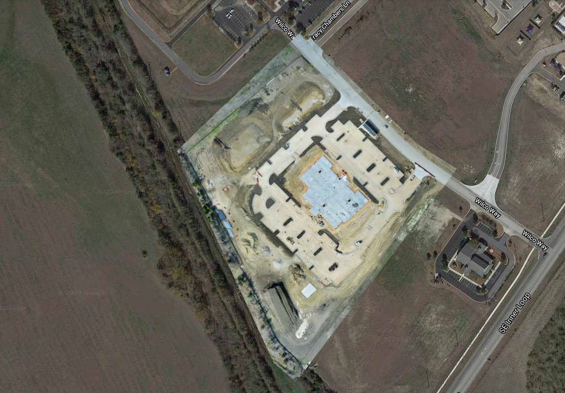
Project Progress, Aerial Survey
UAV Ontario can provide you with site progress photography in a variety of formats. The outputs can include elevation and contour vertical values. These images are typically captured using a drone during one or more flights. The output imagery is high resolution and always 5CM GSD or better.
- JPG (RGB) with KML file with the georeferenced metadata.
- GeoTIFF (RGB) with KML using Web Mercator Projection. Used in software such as ArcGIS or QGIS.
- GeoTIFF (RAW) includes embedded elevation values. Used in software such as ArcGIS or QGIS.
- DXF/SHP (Contour files). For use with Autodesk software.
- LAS (Point Cloud). Can be used in AutoCAD, ArcGIS, Global Mapper, Applied Imagery, or similar software.
- XYZ (Point Cloud). Most common file format accepted across Construction/Mining software formats.
- PDF Export. We are able to export a PDF of 2D, Elevation, Digital Terrain Model and Plant Health layers.
- Source Imagery (ZIP) …and more!
Please browse the completed rendered images and be sure to contact us for all of your aerial survey requirements in Ontario.
Split View: Before/After

August 2017
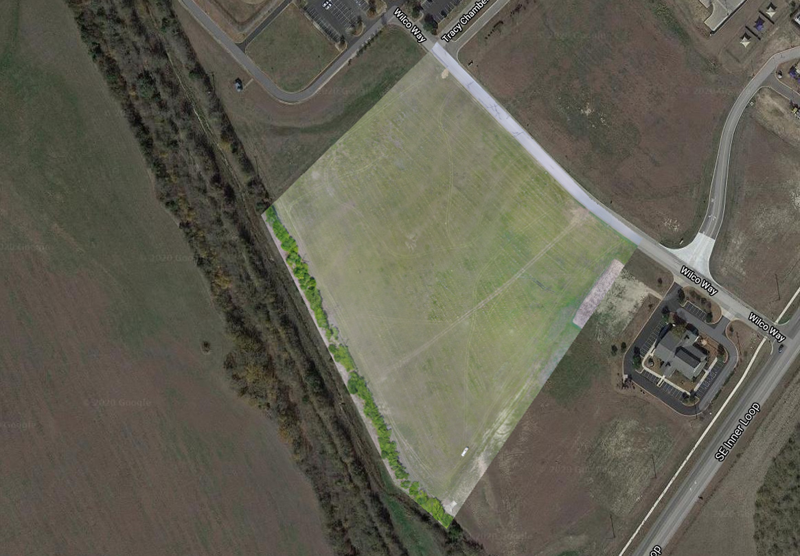
November 2017
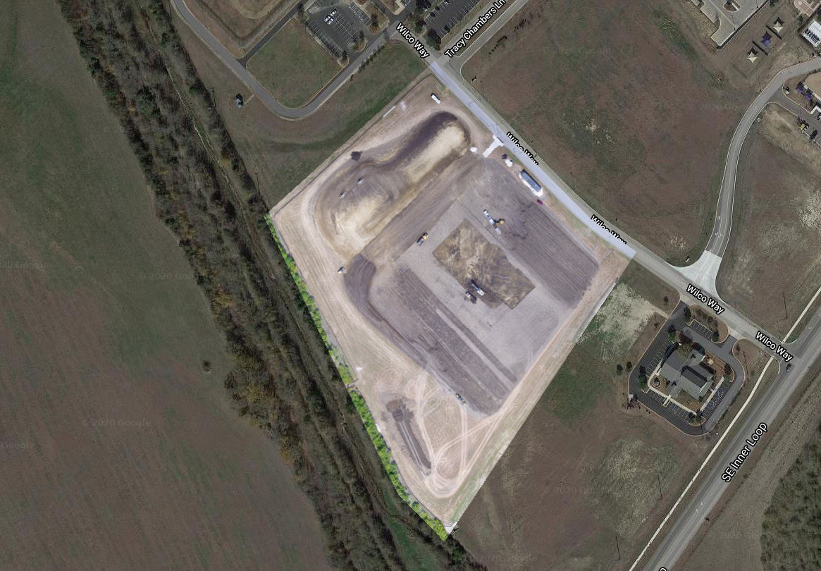
May 2018
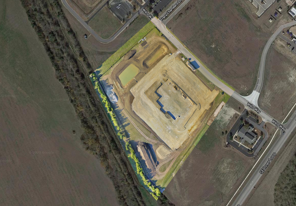
June 2018